The 4 Best New Features Added To Google Maps In 2026 (So Far)
Google Maps is having a big year thus far, with hot new features like voice control already in the wild. As with most of the tech giant's tools (and really nearly every piece of software being made or refined in 2026), a big piece of the innovation has to do with AI integration. But Gemini is just the tip of the iceberg. Alongside some existing, hidden features, Google is also expanding its immersive navigational tools, trying to position Maps as a more conversational travel platform, capable of better reading and understanding context and answering complicated questions on the fly.
The Gemini-powered "Ask Maps" feature is leading the charge, but there's also stuff like route visualizations to help translate the data Maps is providing into real-world instructions that are easier to follow. Further enhancements to Maps' AR layer and Live View upgrades are another way Google is attempting to make the app even more useful in dense areas like urban environments, where navigating can be very tricky.
Ask Maps: Conversational navigation powered by Gemini
The big AI update comes by way of the Ask Maps feature. Put simply, it lets you ask natural-language questions about routes, destinations, and any real-world obstacles or delays you might run into on the way to your destination. Instead of just typing in a destination and hitting the Directions button, Ask Maps lets you figure out where you should stop along the way, or inquire about specific services you can take advantage of on your route.
Ask Maps is Google's bid to transform the app from a static navigational tool into a full-fledged AI assistant. It can give you contextual recommendations based on travel intent, like adding stops along a road trip for nervous bladders, or evaluating route tradeoffs like the cost of toll roads versus congestion. Google is rolling Ask Maps out now in the U.S. and select international regions and is positioning it as the core Gemini integration.
3D route visualization for immersive navigation
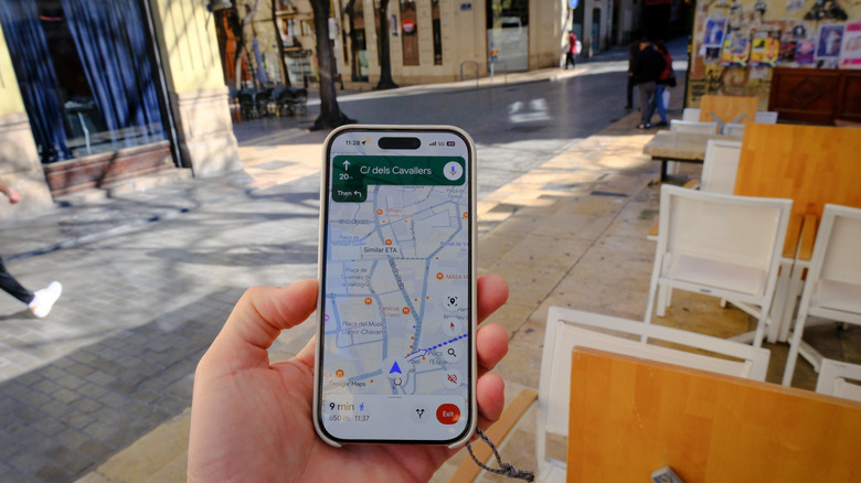
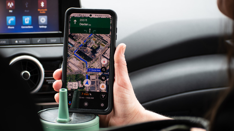
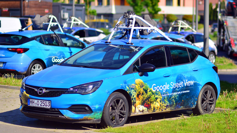
Google's big immersive navigation upgrade is the company's attempt to transform flat, two-dimensional directions into a three-dimensional, real-world simulation of your route. It takes advantage of Google's vast database of information, like Street View and aerial imagery, meaning it'll be best deployed in areas where Google has the most (and most up-to-date) information. In those regions, it'll provide a realistic preview of your drive or walk, including stuff like road structure, nearby buildings, and more.
Part of the enhanced navigation properties is landmark navigation. Directions will now reference specific stores or buildings instead of just relying on street names or abstract distances, which is a huge boon for anyone who's primarily a visual navigator. Google calls this upgrade its most impactful navigation upgrade in over a decade, part of an app-wide push to make Maps more intuitive and to feel like it's more connected to the real world around its users.
Traffic intelligence and AI-driven predictive routing

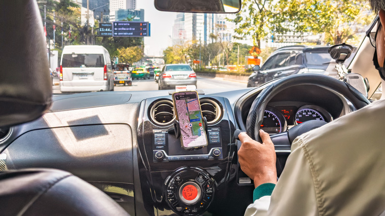
One of Maps' major weaknesses in previous iterations, besides perhaps subtly brainwashing us, has been around delays and congestion. Google is looking to address that in 2026 with enhanced predictive routing powered by AI-driven traffic forecasting. Instead of just giving recommendations based on current traffic patterns, Maps will now attempt to predict snarls before they form and route you accordingly.
To perform this magic trick, the app will look at historic traffic trends in an area, as well as data like live conditions and event-based signals. When it has collected enough data to give what the app deems a useful recommendation, it will proactively warn you about congestion and attempt to guide you to a smoother route. In a similar vein, Google promises better route recommendations, with more explicit explanations of trade-offs. For instance, it may give you a choice between a speedy toll road or a slower non-toll road that may be less likely to experience traffic disruptions.
AR enhancements and expanded Immersive Live View
Live View is what Google calls its AR navigation layer, and the company has promised a number of improvements in 2026. These include updates to enhance accuracy and usability in dense urban environments, amongst others. You can now use your camera to align navigation cues directly onto your real-world environment, with more precise AR overlays. This means stuff like directional arrows guiding you to your location should pop up in the proper spot, or cleaner identification of things like subway entrances.
This should help a lot in complex, difficult-to-navigate areas like transit hubs and multi-level buildings, the places you're most likely to actually get lost. The system makes use of mapping intelligence and visual data to improve real-time contextual awareness. The hope is that AR navigation eventually moves from a novelty feature toward a practical, everyday navigation layer that supplements traditional map views and is a more useful extension of the app.