

What's The Difference Between Google Maps And Google Earth?

Google loves itself a cartography app. So much so that it has two of them: Google Maps and Google Earth. Besides having overlapping functionality related to global satellite imagery with geographic information, though, they serve different purposes for different people. On one hand, Google Maps focused is a user-friendly interactive map offering up driving directions and information about businesses and landmarks, while Google Earth serves a different clientele with access to various tools and overlays that provide a more-detailed look at the planet.
Launched on February 8, 2005, Google Maps put all sorts of new mapping tools at users' fingertips. You could click, drag, and have new parts of the map load and appear without a whole page refresh, and it was geared for turn-by-turn driving directions evolving over the years to offer information such as traffic, toll, and speed trap info, transit directions, Street View, and even augmented reality navigation. Google Maps has evolved over the years offering an assortment of route-planning tools making it the most popular travel app, but that all changed recently when it was dethroned by MapQuest for reasons you probably wouldn't guess.
Who is Google Earth made for?
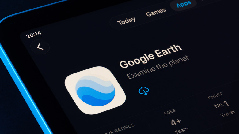
So what's Google Earth all about? Google Earth officially launched on June 28, 2005, but it was originally developed by a company called Keyhole in the 1990s and, perhaps not surprisingly, it later had ties with the Central Intelligence Agency (CIA) before Google's acquisition. Google Earth is a program rather than a website, allowing users to browse the world in a 3D environment through a camera with multiple degrees of freedom, accurate terrain depiction, and even modeled buildings in select cities. Satellite imagery has been a core feature with promotional campaigns highlighting views of natural wonders and sites of research, and it's even been used to help governments respond to large-scale destructive events, such as Hurricane Katrina.
Users are also able to make their own custom maps and model their own objects onto the global geography. Content creators have used those tools as a data-intensive storytelling medium — Jon Bois, executive producer for sports-focused YouTube channel Secret Base, has used Google Earth to weave narratives with newspaper clippings and statistical charts to profile athletes, teams, and, for some reason, banana peel slips.
Google Earth continues to develop cool new entertainment features as well as professional tools, allowing designers and engineers to plot out sites for buildings, associated developments, and solar panels. The company has also integrated its Gemini AI assistant into the program. It now offers Google Earth subscription plans with expanded capacity for site analysis, modeling, and Gemini prompts for enterprise-level users starting at $75 per user per month.