

Google Maps Has A Built-In Function For Measuring Your Yard - Here's How To Use It
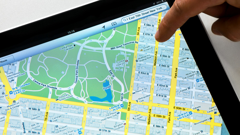
Google Maps is probably best known as a navigation system for driving. It's a useful tool for planning trips and routes, and for avoiding construction or highways you don't want to take. It also includes an odd yet handy feature for measuring your yard. It comes built-in with Google Maps and can help you see just how big your lot is.
You may have documents such as a property deed that show how big your yard actually is, or you may have used a yard size calculator. Both include measurements that show you how large your lot is, so you can get a clearer idea of its square footage. However, if you want to get those measurements yourself, you can use Google Maps to get an accurate square footage for your lot. You just need to use Google Maps' satellite imagery feature, and it's completely free.
Measuring your yard can be convenient if you are planning a DIY project. It can help you measure distances so you know how long a fence needs to be, where to put a playground, or anything else you're planning for your lot. It's just one more hidden Google Maps feature to help you plan.
How to measure your yard with Google Maps
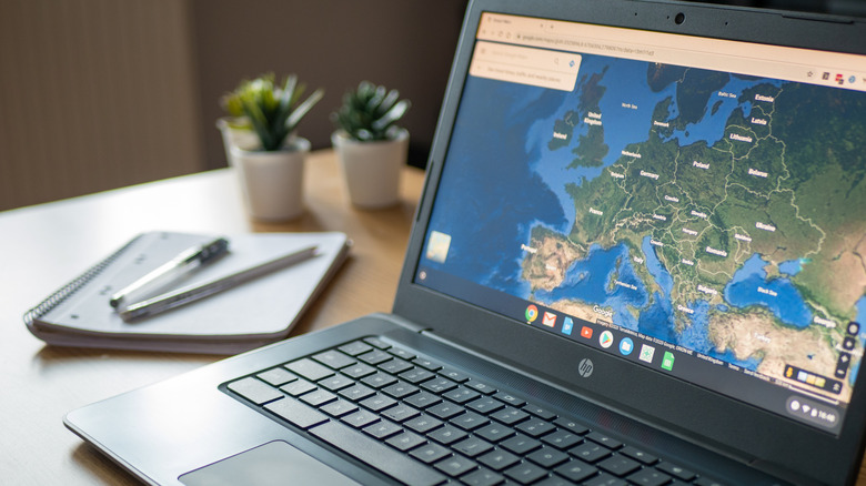
Google Maps has several tools you may not know about, such as a yard measurement tool. In a browser, open Google Maps and go to your property using the satellite imagery feature. Next, find your yard by entering your home address or by clicking and zooming around the map to find a different property to measure. Then right-click the area you want to measure; this will be your starting point.
Select the Measure distance option to place a circle. From there, click another area on the property you wish to measure, and a second circle will appear. You can click more times to add additional circles until you reach the desired distance, or close the shape by clicking the first circle.
Once you connect two circles, a line will appear between them showing the distance in feet. Closing the shape will show the total area in square feet, giving you a more detailed look at how large your lot, yard, or property is. Google Maps will automatically show the distance and area for you at the bottom of the screen. You can either take a screenshot of the browser page and save it for later, or write down the numbers in a notebook or on your phone.
Why you might need to know your yard size
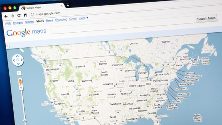
You may want to measure your lawn for several reasons. You may want to see if the property deed is correct and shows an accurate square footage of your yard. You may want to get a quote for your yard if you ever plan to sell. This can help you decide how much to ask per square foot.
If you own a large piece of land, knowing how large the property is can help you split it into smaller, equal-sized lots. This may help you plan where to put buildings, houses, and sheds that require precise square footage to place and build properly. You may also want to know how big a piece of land is so you can plan how much fertilizer or weed killer you'll need.
Knowing this can help you plan, so you don't buy too much lawn fertilizer or other lawn products or equipment. You can also use the Google Maps tool to plan how your lawn looks. You'll just need to zoom in for a closer view. You can use the distance measurement tool to build out gardens, landscaping, and more to beautify your yard.