

Wind Farms Are Having A Surprising Impact On Weather Radars – Here's Why That Matters
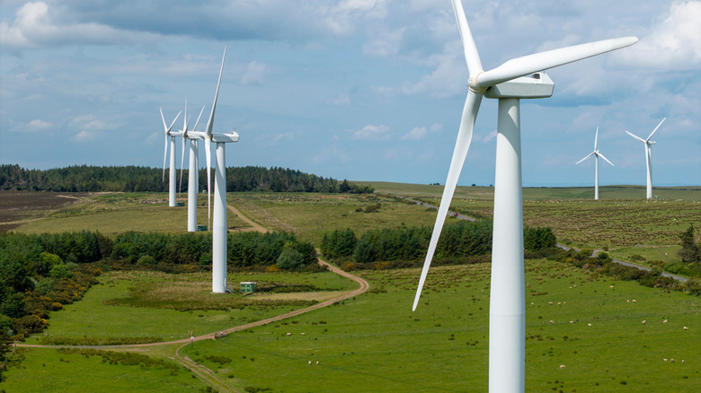
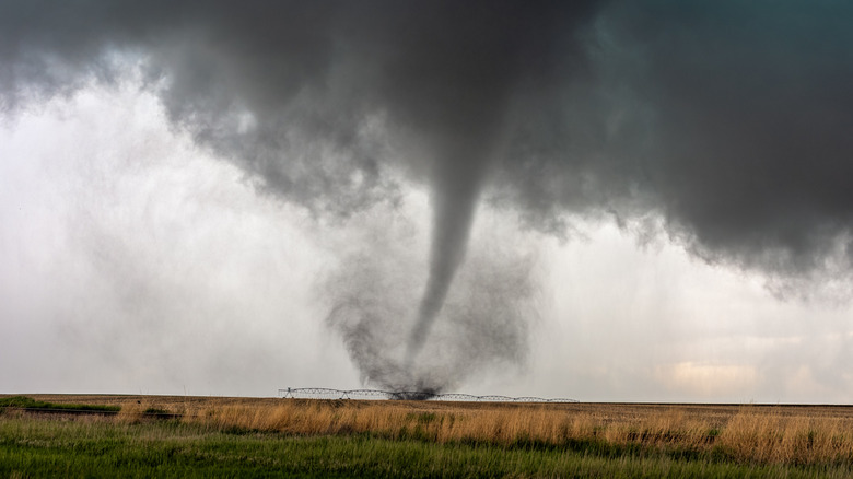
On December 1, 2018, at around 6:30 p.m., an EF-1 tornado had formed near Maroa, Illinois, but despite its advanced Doppler radar equipment, the National Weather Service (NWS) located in the area failed to detect any indication of rotation from the supercell thunderstorm to warn residents. Fortunately, storm chasers on the ground witnessed the tornado, and meteorologists were able to issue a tornado warning 20 minutes before the storm hit the town. As it turns out, the inefficacy of the weather radar was caused by nearby wind turbines.
The reason the data was corrupted was due to how weather radar operates. Radar antennas emit bursts of radio waves known as pulses that are bounced back after hitting targets. These can range from weather including rain, snow, and hail to physical objects such as birds, buildings, and wind turbines. As was the case with the Maroa tornado, the radar pulses bounced off of the wind turbine blades, thus sending back incorrect data. Only after the storm passed the farm, did the radar detect true readings. It's just one other disadvantage of wind energy, but, as it turns out, this wasn't an isolated incident.
This wasn't the first time wind farms have impacted weather radar data
About a decade before this devastating tornado outbreak in Illinois, the NWS discovered similar anomalies appearing on Doppler radar near dozens of industrial-scale wind turbines that were installed in Dodge County, Wisconsin. The radar near the turbines showed precipitation when satellite imaging at the time revealed it was a clear day. The wind farm had disrupted the system and experts with the NWS uncovered why.
It all has to do with the placement of the massive wind turbines. The wind farm was built about two miles east of Iron Ridge and 30 miles north of the Weather Surveillance Doppler Radar found at the NWS location near Sullivan in Jefferson County. Meteorologists soon discovered that the giant blades interfered with the KMKX Doppler radar beam, making it appear as if it was raining in the area.
The turbines were installed at 1,170 feet above sea level, making the location ideal for the farm, but it turns out this was not a great location for the NWS Doppler radar system. And it's not just weather data being affected by wind turbines either. A floating wind farm in Portugal is impacting underwater habitats, while eagles kept dying at a Wyoming wind farm until automated tech was deployed.
What this means for future forecasting
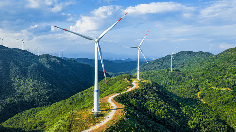
You can have the smartest meteorologists and the best weather apps around, but they still rely on radar. To help reduce the chance of false readings in future weather patterns and storms, the U.S. Department of Energy (DOE) lists a series of checks and balances that have developers and government agencies working together to find the best sites for these turbines as well as testing and research to mitigate this problem in the future. Thoughtfully planning future sites for wind turbines can lead to more accurate weather forecasting and predicting from the NWS and local meteorologists. This can ensure that turbines are not built anywhere they could potentially interfere with Doppler radar systems.
The National Oceanic and Atmospheric Administration (NOAA) has developed a tool to help plan future sites. The geographic information system (GIS) is available to the public and allows users to place wind turbines in the system to see if they could impact radar systems. The tool is just one step in determining where to place wind farms, so they do not interfere with weather radar. This, along with the Federal Interagency Wind Turbine Radar Interference Strategy, are working to develop new radar systems that are resistant to turbine interference.