

What Does The 1 In A Circle Symbol Mean On Google Maps?
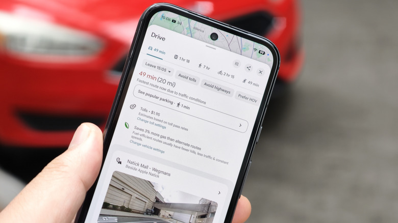
Believe it or not, it was only in 2022 that Google Maps began listing toll charges for trips in its navigation interface. If you don't live in an area with tollways and turnpikes, you might have been blissfully unaware of these road fees. But maybe you've moved, or are planning a journey, and need to know whether your route will have tolls.
When setting up driving directions on Google Maps, you'll know that a route is tolled when you see a circular icon with the number 1 inside, mimicking coinage. Next to the icon is the the total amount you should expect to pay. That number will change depending on whether you have the "See toll pass prices" option selected. To access it, pull up the details of the directions, scroll down, and click on the tolls icon.
This opens up the Trip Options menu where you can adjust this setting. You can also toggle the "Avoid tolls" option on and off in here. This information is available in a saved offline Google Map, though it won't be updated in real time. Google says it partners with state governments to generate toll fee estimations, but if a road authority has recently made changes to toll costs, you may not immediately see those updated numbers on Google Maps.
Using Google Maps for public transit fares
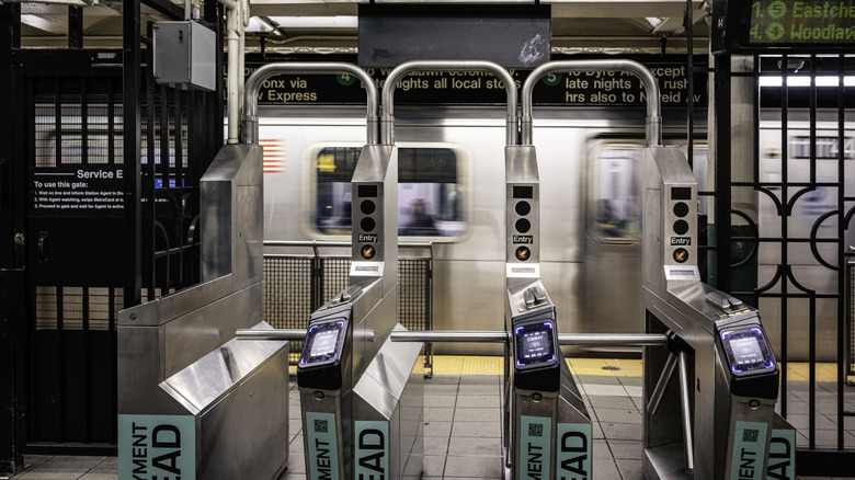
Finding your way with Google Maps is just as easy if you're taking public transit. However, while the directions tend to be accurate and can be updated in real-time, the fare details might be less so. This information has been available since the company integrated its Google Transit unit into Maps in 2007. Alas, the world changes and it does not seem that this feature has come up to date.
Transit fares for trips on Google Maps are calculated based on information from operators, with each segment of a journey presumed to charge one amount. Most transit authorities, however, have more complex systems that include free transfer periods, intermodal fare differences, and fare-free schemes.
For example, if you're planning a trip from Nubian Square to Mattapan Square in Boston, Google Maps will price that ride on the Route 28 bus at $1.70. But you would actually pay nothing thanks to an ongoing no-cost pilot program. Google Maps does work to keep its public transit navigation updated, but it would help if the app's fare-gathering logic received more attention. Until then, consult your local transit agency for full fare details and take advantage of features like adding your boarding pass to Google Wallet where applicable.