

This Tech Used In Your Phone Is Busting Farmers For Spreading Manure Illegally - Here's How
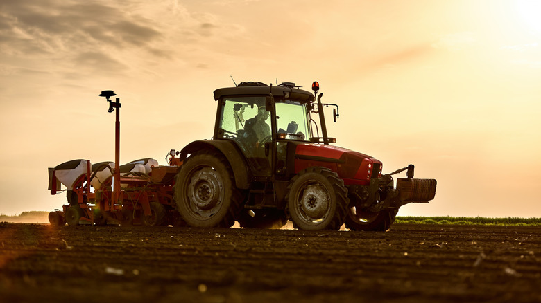
It's unfortunately common for livestock to be kept in cramped confinement in America's rural farmland, especially during cold winter months. When farmers keep their cattle indoors, waste piles up quickly. The common solution is to spread the manure across the farm's cropland. After all, the manure will act as a natural fertilizer and invigorate the land, right? Maybe so, but this is actually dangerous and illegal for farmers to do. Rain and melting snow will carry that waste into local waterways, causing pollution and harming the people who live nearby.
Luckily, environmental agencies have technology that can detect manure remotely, and it's the same kind of satellite connectivity that works on your smartphone, too. The exact tech in question is Google Earth, an app you can use to view the world via satellite imagery from space. Google Earth is different from Google Maps in that Maps is used for navigation, and Earth is all about virtual 3D exploration and modeling.
The Environmental Law & Policy Center (ELPC) is using Google Earth Engine (GEE) in Wisconsin to crack down on farmers who partake in the harmful activity of spreading manure on snow-covered fields. It's worth noting that GEE is a high-end geospatial analysis tool meant for professional use. It's a much more advanced version of the Google Earth app you can download on your phone. The ELPC built its own detection system in GEE and leverages Google's vast cloud computing resources to accurately detect manure applications from satellite imagery.
Satellites can monitor agriculture and so much more
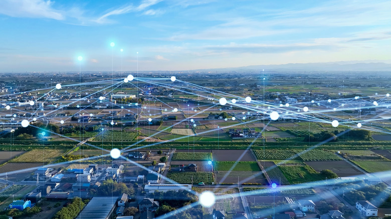
During real-world use, the monitoring tech powered by GEE was capable of detecting manure across large areas in satellite imagery with almost perfect precision. Over the course of two winters, the system identified 1,094 possible manure-spreading events across 17 counties in Wisconsin. This monitoring method allows the ELPC to detect manure on snow-covered croplands in near-real-time. It may seem strange to say, but the ability to immediately spot manure from space is a huge boon for agriculture management and environmentalism.
Interestingly, though, manure doesn't even compare to the strangest things discovered on Google Maps. Satellite imagery has helped with monitoring archaeological sites and has aided in discovering the truth behind some confounding mysteries. In one progressive example, NASA's satellite imagery helped identify a huge sewage spill. Having eyes in the sky can go a long way toward keeping certain organizations accountable.
And while your personal phone probably can't run the kind of cutting-edge algorithmic models that NASA and the ELPC are using, it's still amazing that the device in your pocket can tap into the same kind of satellite imagery that professionals analyze every day. You don't have to be an environmentalist to enjoy a view of the world through the Google Earth app.